Iran earthquake
Overview of the Situation
Before the recent earthquake, southern Iran was already recognized as a seismically active region, particularly due to its location within the Zagros seismic belt. This area is characterized by the ongoing geological activity resulting from the collision of the Arabian and Eurasian tectonic plates.
Details of the Earthquake
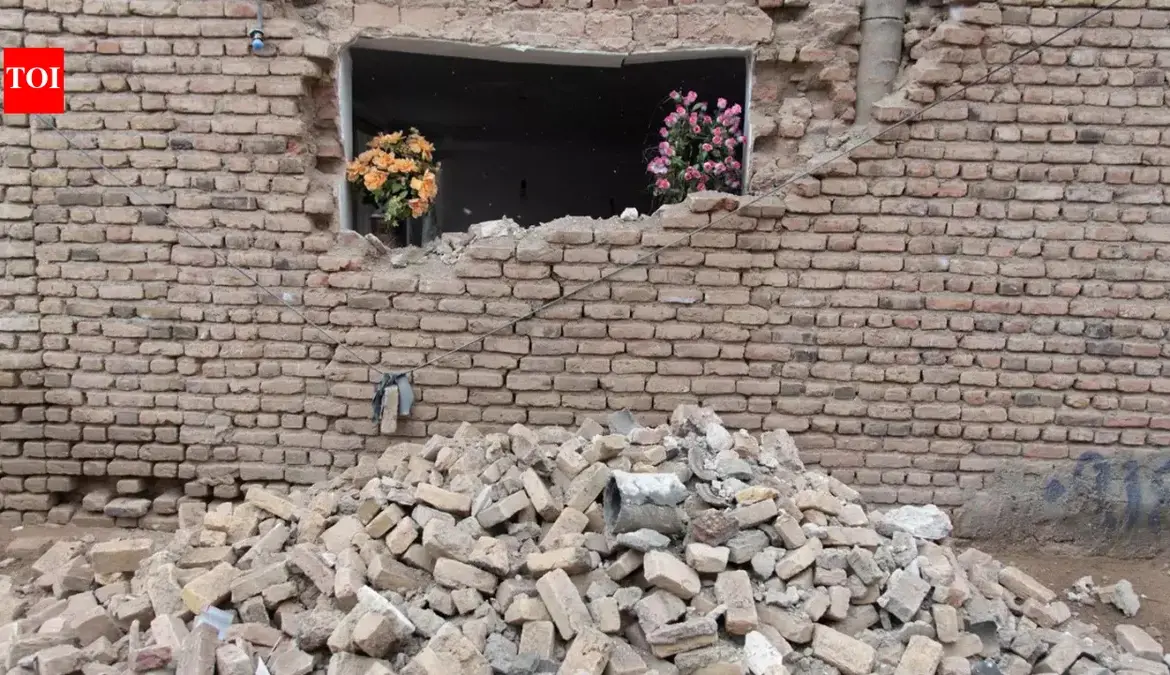
On March 3, 2026, an earthquake measuring 4.3 in magnitude struck near Gerash, a city in southern Iran. The quake occurred at a shallow depth of approximately 10 kilometers, with the epicenter located about 52 kilometers northwest of Gerash city.
Despite the earthquake’s magnitude, local reports indicate that no serious damage or casualties have been reported thus far. Tremors were primarily felt in rural areas surrounding the epicenter, but the overall situation remains stable.
Response from Authorities
Local authorities have declared that the situation is normal and are conducting routine inspections as a precautionary measure. This proactive approach aims to ensure the safety of residents in the affected areas.
Expert Perspective
Experts emphasize that while southern Iran is prone to seismic activity, the lack of significant damage in this instance is a positive outcome. The region’s preparedness for such events may have contributed to minimizing potential impacts.
Ongoing Monitoring
Authorities continue to monitor the situation closely, ensuring that any aftershocks or related events are addressed promptly. The community remains vigilant, given the region’s history of seismic activity.
Uncertainties
Details remain unconfirmed regarding speculation that the earthquake may have resulted from an underground nuclear test, which has not been substantiated by any evidence.